Understanding VNAV – Vertical Navigation in Aviation
What is VSAV? – Overview of Vertical Navigation
VSAV (Vertical Navigation) represents a sophisticated flight management system feature that automatically manages an aircraft’s vertical flight path throughout the entire journey—from departure gate to arrival. Rather than relying on traditional ground-based navigation aids, this system provides pilots with precise, autonomous guidance for both climbs and descents, creating an optimal flight profile that adapts to real-time conditions.
The system combines complex variables—aircraft performance characteristics, current weight, meteorological conditions, and programmed altitude restrictions—into a single, optimal vertical trajectory that pilots can visualize and follow.
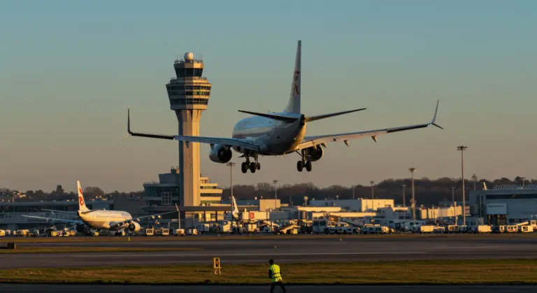
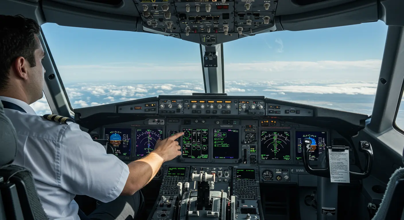
Once activated via the autopilot interface, VSAV automatically adjusts the aircraft’s vertical speed to meet predetermined altitudes at specific waypoints along the flight plan. This is particularly useful during precision instrument approaches, where VSAV provides a calculated glide path to decision minimums while maintaining strict adherence to every altitude constraint along the route.
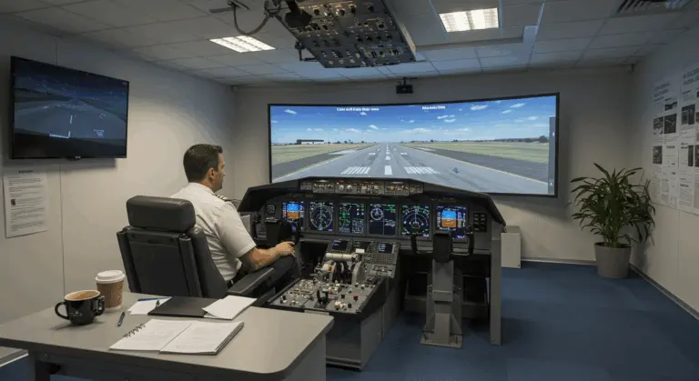
For pilots transitioning to modern commercial aircraft, mastering VSAV functionality is one of the most challenging aspects of modern automation to master. When used properly, this system transforms flight management by automatically initiating and fine-tuning descents to satisfy every constraint programmed into the flight plan.
VSAV functions through two distinct modes: VSAV Path mode, which precisely follows the calculated vertical profile, and VSAV Speed mode, which prioritizes maintaining pilot-selected airspeeds. This automation significantly reduces pilot workload, allowing flight crews to focus on other critical flight management tasks.
How VSAV Works – Key Functions and Features
Beyond basic path calculations, the system shows advanced computational capabilities through its dynamic adaptation capabilities. VSAV continuously recalculates optimal descent points, factoring in real-time variables like changing headwinds, tailwinds, and progressive weight reduction from fuel burn.
VSAV Modes – Understanding Vertical Flight Management
VSAV Speed mode commands the autopilot to adjust aircraft pitch for maintaining pilot-selected airspeeds—particularly valuable when complying with stringent speed restrictions or implementing noise abatement procedures oversensitive areas.
Conversely, VSAV Path mode prioritizes strict adherence to the calculated vertical flight profile, adjusting pitch to keep the aircraft on its predetermined path. This makes it the preferred choice for maximizing fuel efficiency and navigating approaches laden with multiple altitude constraints.
Both modes operate in seamless harmony with the autothrottle system, which adjusts engine thrust to complement the autopilot’s pitch control. This coordinated operation produces a comprehensive vertical navigation solution that significantly reduces pilot workload while maximizing operational efficiency.
VSAV and Autopilot – Enhancing Flight Efficiency
The marriage of VSAV with modern autopilot systems is a major advancement in commercial aviation, providing significant operational and environmental benefits. Through calculating optimal altitude and speed parameters at strategic points along the flight path, VSAV technology enables aircraft to maintain ideal vertical profiles that maximize aerodynamic efficiency while significantly reducing fuel consumption.
Throughout cruise flight, VSAV collaborates with the autopilot to maintain optimal flight levels, intelligently suggesting step climbs to increasingly efficient altitudes as progressive fuel burn lightens the aircraft.
VSAV’s efficiency contribution is most apparent during descent planning. The system calculates a precise top-of-descent point, enabling an optimized idle-thrust descent that can reduce fuel consumption by 200–800 pounds per approach—translating to substantial cost savings and emissions reductions across an airline’s operation.
Through automating intricate vertical navigation calculations, VSAV significantly reduces pilot workload, freeing crews to concentrate on situational awareness and critical communications. This enhances safety and contributes to more consistent on-time performance, particularly in congested airspace.
VSAV in Practice – Real-World Applications
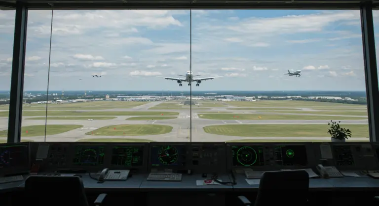
Within congested terminal airspace, VSAV is essential for navigating complex arrival and departure procedures (Stars) peppered with multiple altitude constraints—automating calculations that would otherwise demand constant manual computation and complex calculations from flight crews.
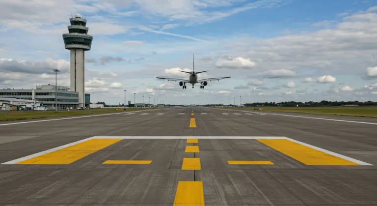
RNA approaches demonstrate VSAV’s precision capabilities, as the system computes smooth continuous descent paths that satisfy every step-down fix requirement. The result? Enhanced safety margins, fewer altitude deviations, and remarkably smoother, quieter approaches over noise-sensitive populated areas.
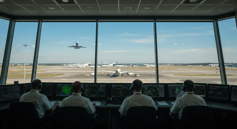
The synergy between VSAV systems and Air Traffic Control directives has become highly advanced. When controllers issue altitude or speed restrictions, pilots can rapidly input these constraints into the FMS, prompting VSAV to instantly recalculate the vertical profile accordingly.
Airlines consistently report significant operational benefits from VSAV implementation: fuel savings ranging from 3-5% on typical medium-haul routes, plus enhanced schedule reliability stemming from more predictable flight times.
Safety Considerations – VSAV and Terrain Awareness
The primary safety requirement governing VSAV usage demands that pilots maintain comprehensive knowledge of destination airports, surrounding obstacles, and terrain features—a requirement that is especially important when operating in mountainous regions where safety margins are reduced.
Despite their advanced capabilities, VSAV systems remain fallible tools rather than perfect substitutes for pilot judgment and situational awareness. Pilots must continuously cross-reference VSAV-generated descent paths against published minimum safe altitudes and terrain clearance requirements.
Contemporary flight decks integrate VSAV with Terrain Awareness and Warning Systems (TAWS), creating multiple safety layers. Yet these systems occasionally trigger nuisance alerts during routine VSAV operations when descent paths temporarily position aircraft closer to terrain than TAWS alert thresholds anticipate. Pilots must understand these potential interactions and distinguish between genuine terrain threats and expected system behaviors.
Weather conditions introduce additional complexity to VSAV safety considerations. Powerful winds can significantly change a descent’s ground track, while extreme temperatures affect altimeter accuracy—requiring pilots to apply manual corrections, especially during cold weather operations where altitude errors can be especially dangerous.
Industry best practices advocate cautious VSAV usage in unfamiliar terrain. When local knowledge proves insufficient or weather conditions create uncertainty, reverting to more conservative vertical navigation techniques provides important safety margins.
Future of VSAV – Innovations and Developments
VSAV’s evolutionary trajectory aims to develop more advanced systems with better integration, all aimed at improving safety, efficiency, and environmental performance across the aviation spectrum.
-
AI and Machine Learning: Future systems will use AI to create more dynamic and adaptive flight profiles, continuously optimizing for real-time variables like weather, traffic, and aircraft performance.
-
Enhanced Data Connectivity: Integration with live data from other aircraft and ground stations will enable “4D trajectory-based operations,” coordinating the flight path across latitude, longitude, altitude, and time with unprecedented precision.
-
Intuitive Pilot Interfaces: Manufacturers are developing interfaces that reduce cognitive workload, using technologies like augmented reality to visually represent flight paths and constraints.
-
Autonomous Flight Integration: Advanced VSAV will be a core component in the architecture of autonomous aircraft, managing complex vertical navigation during critical flight phases.